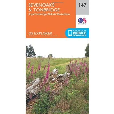
Explorer 147 Sevenoaks & Tonbridge Map With Digital Version
Featured

|
£ 7.80 |
To Shop
|

|
£ 8.99 |
To Shop
|

|
£ 8.99 |
To Shop
|
 Description
Blacks
Providing complete GB coverage, the OS Explorer map series details information essential in the great outdoors, including youth hostels, pubs and visitor information. Rights of way, fences, permissive paths and bridleways are clearly shown, ensuring you have the best information to get the most out of your time in the countryside. Features North Downs North Downs Way Sussex Border Path Wealdway Greensand Way Vanguard Way Darent Valley Path (to be shown at 50k) Eden Valley Walk (to be shown at 50k) Tunbridge Wells Circular Walk (to be shown at 50k) Medway Valley Walk London Loop (Guide Book) E2 (European long distance route) North Downs Way (National Trail) Greater London Surrey Kent Orpington Royal Tunbridge Wells Sevenoaks Tonbridge 1:25 000 scale (4 cm to 1 km - 2.5 inches to 1 mile) This map comes with a digital version which you can download to your smartphone or tablet. Go to OS.uk/redeem for more details (terms and conditions apply). Scratch off the panel on the inside cover of the map to reveal a code, you are then just three easy steps away from downloading your digital map. If the scratch panel has already been scratched off or if you have any problems downloading your map, please call the OS Customer Service Centre on 03456 050505.


Providing complete GB coverage, the OS Explorer map series details information essential in the great outdoors, including youth hostels, pubs and visitor information. Rights of way, fences, permissive paths and bridleways are clearly shown, ensuring you have the best information to get the most out of your time in the countryside. Features North Downs North Downs Way Sussex Border Path Wealdway Greensand Way Vanguard Way Darent Valley Path (to be shown at 50k) Eden Valley Walk (to be shown at 50k) Tunbridge Wells Circular Walk (to be shown at 50k) Medway Valley Walk London Loop (Guide Book) E2 (European long distance route) North Downs Way (National Trail) Greater London Surrey Kent Orpington Royal Tunbridge Wells Sevenoaks Tonbridge 1:25 000 scale (4 cm to 1 km - 2.5 inches to 1 mile) This map comes with a digital version which you can download to your smartphone or tablet. Go to OS.uk/redeem for more details (terms and conditions apply). Scratch off the panel on the inside cover of the map to reveal a code, you are then just three easy steps away from downloading your digital map. If the scratch panel has already been scratched off or if you have any problems downloading your map, please call the OS Customer Service Centre on 03456 050505.
AmazonPages: 1, Edition: September 2015 ed, Map, Ordnance Survey
 Product specifications
| Brand | Ordnance Survey |
|---|---|
| EAN |
|
| Color |
|
| Size |
|
| MPN |
|
Prices were last updated on:
 Related products


