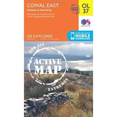
Explorer Active OL37 Cowal East Dunoon & Inveraray Map With Digital Version
Prices from
Blacks
Detailed and informative explorer map of Cowal East from Ordnance SurveyCovers Loch Lomond, The Trossachs National Park, Argyll Forest Park, Kyles of Bute, Loch Fyne, Holy Loch and West Island WayScale: 1:25000Now includes Mobile DownloadActive weatherproof versionRecommended activity - walking / hiking / cycling / navigation / expedition
Read more
10.20
 Description
Blacks
Detailed and informative explorer map of Cowal East from Ordnance SurveyCovers Loch Lomond, The Trossachs National Park, Argyll Forest Park, Kyles of Bute, Loch Fyne, Holy Loch and West Island WayScale: 1:25000Now includes Mobile DownloadActive weatherproof versionRecommended activity - walking / hiking / cycling / navigation / expedition
AmazonPages: 1, Edition: May 2015 ed, Map, Ordnance Survey
 Product specifications
| Brand | Ordnance Survey |
|---|---|
| EAN |
|
| Color |
|
| Size |
|
| MPN |
|
 Price History
Prices were last updated on:


 Related
  To Shop


