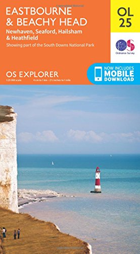
Explorer OL 25 Eastbourne & Beachy Head Map
Prices from
Blacks
FeaturesDetailed and informative explorer Map of Eastbourne & Beachy Head from Ordnance SurveyCovers Beachy Head, the High Weald, South Downs National Park, South Downs Way, Cuckmere Haven, River Cucksmere and the 1066 Country WalkScale: 1:25000Now includes Mobile DownloadRecommended activity - walking / hiking / cycling / navigation / expedition
Read more
7.80
Description
Blacks
FeaturesDetailed and informative explorer Map of Eastbourne & Beachy Head from Ordnance SurveyCovers Beachy Head, the High Weald, South Downs National Park, South Downs Way, Cuckmere Haven, River Cucksmere and the 1066 Country WalkScale: 1:25000Now includes Mobile DownloadRecommended activity - walking / hiking / cycling / navigation / expedition
AmazonPages: 1, Edition: May 2015 ed, Map, Ordnance Survey
Product specifications
Brand | Ordnance Survey |
---|---|
EAN |
|
Color |
|
Size |
|
MPN |
|
Price History
Prices were last updated on: