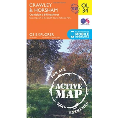
Explorer OL 34 Active D Crawley & Horsham Map
Prices from
Blacks
FeaturesDetailed and easy to read Map from Ordnance SurveyScale: 1:25,000Covers Horsham, Cranleigh, Billinghurst, Low Weald, the western area of High Weald, the River Ouse, River Arun and River AdurIncludes mobile download of map for use on your smartphoneShows tourist information points, popular sites, viewpoints, places of information and rights of way informationRecommended activity - navigation
Read more
10.20
 Description
Blacks
FeaturesDetailed and easy to read Map from Ordnance SurveyScale: 1:25,000Covers Horsham, Cranleigh, Billinghurst, Low Weald, the western area of High Weald, the River Ouse, River Arun and River AdurIncludes mobile download of map for use on your smartphoneShows tourist information points, popular sites, viewpoints, places of information and rights of way informationRecommended activity - navigation
AmazonPages: 1, Edition: May 2015 ed, Map, Ordnance Survey
 Product specifications
| Brand | Ordnance Survey |
|---|---|
| EAN |
|
| Color |
|
| Size |
|
| MPN |
|
 Price History
Prices were last updated on:


 Related
  To Shop


