


£ 19.95

Sponsored links
|
|
£ 19.95 |
To Shop
|

|
£ 19.95 |
To Shop
|

|
£ 28.49 |
To Shop
|
| COMPARE ALL WEBSHOPS (3) | ||
 Description
Compare webshops (3)
Sponsored links · Some shops pay us a fee
£ 19.95
£ 19.95
£ 28.49
Shops with other sizes
Description
(1)
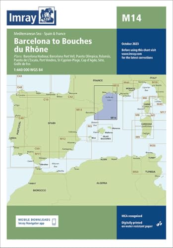
Imray Costa Brava-gulf Du Lion Marine Charts. Navigate the Costa Brava and Gulf of Lion with IMRAY Digital Marine Charts. Experience enhanced situational awareness and confident passage planning with trusted, official data. Detailed port plans and clear symbology ensure stress-free port entry and safe voyages. High-resolution raster format preserves familiar chart detail, compatible with leading navigation software and the Imray Navigator app. Navigate the stunning waters of the Western Mediterranean with unparalleled confidence using the IMRAY Digital Marine Charts for the Costa Brava and Gulf of Lion. Designed for the discerning mariner, this essential electronic cartography package provides the accuracy, clarity, and detail that the IMRAY brand is renowned for. Whether you are planning an extended cruise from the rugged coves of Spain´s Costa Brava to the historic ports of Southern France, or undertaking shorter coastal passages, this chart set is your indispensable partner for safe and efficient navigation.Experience the peace of mind that comes from using cartography derived from official hydrographic office data. These charts are meticulously compiled and presented in IMRAY´s award-winning and instantly recognisable style, ensuring you have the most reliable information at your fingertips. Sail with a clear understanding of your surroundings, from busy shipping lanes to secluded anchorages, and make informed decisions that enhance both safety and enjoyment on the water.Key Benefits for Your Voyage:* Enhanced Situational Awareness: Navigate complex coastlines, busy harbours, and open water with a clear, uncluttered display. The distinct colour scheme helps you instantly differentiate between deep water, shallow areas, and drying heights, reducing ambiguity and allowing for quicker, safer decision-making.* Confident Passage Planning: Plan your routes with precision. The comprehensive data allows you to identify potential hazards, locate essential navigation aids, and select the best anchorages and marinas for your journey along this popular Mediterranean cruising ground.* Stress-Free Port Entry: Approach unfamiliar harbours and marinas with ease. The inclusion of large-scale plans for major ports and popular smaller harbours provides intricate detail on breakwaters, berthing facilities, channel markers, and depths, taking the guesswork out of your arrival.* Trusted & Reliable Data: Rely on cartography that is based on data from official sources, including the French Service Hydrographique et Océanographique de la Marine (SHOM) and the Spanish Instituto Hidrográfico de la Marina (IHM), ensuring the highest level of accuracy.Main Features:* High-Resolution Raster Format: These digital charts are high-quality raster scans of the original paper charts, preserving the familiar look and feel that sailors have trusted for decades. Enjoy seamless zooming and panning across the entire region.* Detailed Port & Harbour Plans: A wealth of large-scale plans are embedded within the charts, offering magnified views of ports, marinas, and anchorages, complete with detailed soundings and facility information.* Comprehensive Navigational Information: All essential navigational elements are clearly marked, including lights with their sectors and characteristics, buoys, beacons, depth contours, soundings, and notable seabed features like wrecks and obstructions.* Signature IMRAY Cartography: The renowned IMRAY colour palette and clear symbology make for an intuitive and easy-to-read display on your electronic device, reducing screen fatigue and improving comprehension.Technical Specifications:* Product Category: Electronics* Subcategory: Cartography* Region: Mediterranean Sea* Coverage Area: Costa Brava (Spain) to Gulf of Lion / Marseille (France)* Data Sources: Compiled from official data provided by SHOM and IHM.* Format: Digital Raster Charts* Compatibility: Designed for use with compatible PC navigation software (such as SeaPro) and the Imray Navigator app for iOS and Android devices. Please verify compatibility with your specific navigation system before purchase.Equip your vessel with the definitive electronic cartography for one of the Mediterranean´s most rewarding cruising areas. The IMRAY Costa Brava-Gulf du Lion digital charts provide the perfect blend of traditional clarity and modern electronic convenience for your next adventure. tradeinn Waveinn
 Product specifications
| Brand | Imray, Laurie, Norie & Wilson Ltd |
|---|---|
| EAN |
|
| Color |
|
| Size |
|
| Gender |
|
 Price History
* Price history contains no data from Amazon, Amazon Marketplace.
Prices were last updated on:
 Related results


