


£ 20.49

Sponsored links
|
|
£ 20.49 |
To Shop
|

|
£ 20.49 |
To Shop
|

|
£ 28.99 |
To Shop
|
| COMPARE ALL WEBSHOPS (3) | ||
 Description
Compare webshops (3)
Sponsored links · Some shops pay us a fee
£ 20.49
£ 20.49
£ 28.99
Shops with other sizes
Description
(1)
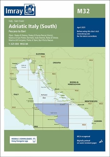
Imray South Adriatic Italy Marine Charts. Navigate the sun-drenched coastlines and historic ports of Southern Italy with unparalleled confidence using the IMRAY South Adriatic Italy marine charts. Specifically designed for the discerning yachtsman and leisure sailor, this essential navigational resource falls under the Cartography subcategory and is your premier choice for safe and enjoyable voyages. This collection, designated as ´M32 - Adriatic Italy (South)´, provides the clarity and detail necessary to explore one of the world´s most captivating sailing areas.Experience the difference that world-renowned cartography makes. IMRAY charts are celebrated for their distinctive and logical color scheme, which allows for quick, at-a-glance interpretation of crucial data, reducing navigational workload and enhancing situational awareness. The clear, uncluttered layout ensures that vital information stands out, enabling you to make informed decisions swiftly, whether you are planning your passage in a calm marina or navigating a challenging approach in changing conditions. The cartography is meticulously compiled and drawn, based on the most current data from official hydrographic offices, and is subject to a continuous program of updates and new editions to ensure maximum accuracy and reliability for your peace of mind.This cartographic set is more than just a map, it is a key to unlocking the very best of the Southern Adriatic. Go beyond simple position-fixing with information tailored specifically to the needs of the cruising sailor. Discover detailed plans of major harbours, ports, and marinas, providing you with the critical knowledge needed for a seamless arrival. Identify prime anchorages, explore hidden coves, and navigate with a clear understanding of potential hazards, tidal streams, and prevailing conditions. Every aspect of the chart is designed from a mariner´s perspective, prioritising practical, useful information that transforms a good trip into an unforgettable adventure. For any sailor planning to cast off and explore the magnificent Italian coastline from the Gargano Peninsula down to the Strait of Otranto, this navigational tool is not just recommended—it is an essential partner for a safe and memorable journey. tradeinn Waveinn
 Product specifications
| Brand | Imray, Laurie, Norie & Wilson Ltd |
|---|---|
| EAN |
|
| Color |
|
| Size |
|
| Gender |
|
 Price History
 * Price history contains no data from Amazon, Amazon Marketplace.
Prices were last updated on:
 Related results


