


£ 19.95

Sponsored links
|
|
£ 19.95 |
To Shop
|

|
£ 19.95 |
To Shop
|

|
£ 28.49 |
To Shop
|
| COMPARE ALL WEBSHOPS (3) | ||
 Description
Compare webshops (3)
Sponsored links · Some shops pay us a fee
£ 19.95
£ 19.95
£ 28.49
Shops with other sizes
Description
(1)
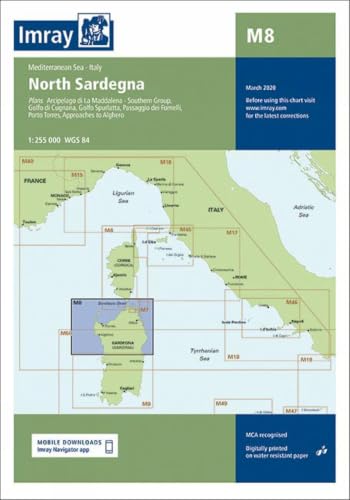
Imray North Sardinia Marine Charts. Navigate North Sardinia´s stunning waters with the IMRAY M15 marine chart. This essential cartography tool offers comprehensive, detailed coverage of the Costa Smeralda, Strait of Bonifacio, and La Maddalena Archipelago. Experience enhanced safety with charts based on official data, superior clarity via IMRAY´s intuitive color scheme, and durability for marine use. GPS compatible and featuring detailed plans for key ports, this chart ensures confident passage planning and pilotage. Navigate the stunning and intricate waters of North Sardinia with unparalleled confidence using the IMRAY M15 marine chart. As an indispensable tool in marine cartography, this chart is meticulously designed for sailors, yachtsmen, and motorboaters exploring one of the most breathtaking sailing destinations in the Mediterranean. Trust in IMRAY´s legacy of accuracy and clarity to guide you safely through the famous Costa Smeralda, the challenging Strait of Bonifacio, and the spectacular La Maddalena Archipelago.This chart provides comprehensive and detailed coverage, ensuring you have all the critical information for safe passage planning and pilotage. Its clear, logical layout and distinctive IMRAY colour scheme make it easy to distinguish between deep water, shallows, and land features at a glance, reducing fatigue and improving situational awareness, even in difficult conditions. Whether you are planning a day sail or an extended cruise, this chart is your most reliable partner on the water.Key Benefits:* Enhanced Safety: Navigate with confidence using charts based on official hydrographic data, ensuring the highest level of accuracy for identifying hazards, depths, and navigation aids.* Superior Clarity: The renowned IMRAY colour palette and clear symbology provide an intuitive and easy-to-read display, allowing for quick interpretation of complex nautical information.* Durable and Practical: Printed on high-quality, water-resistant paper, this chart is built to withstand the rigours of a marine environment. It comes folded in a sturdy plastic wallet for convenient storage and protection.* Comprehensive Coverage: A single sheet provides extensive coverage of the region, including numerous large-scale plans for popular harbours and anchorages, eliminating the need for multiple charts.* GPS Compatibility: All IMRAY charts are based on the WGS84 datum, allowing for seamless integration with your onboard GPS and electronic navigation systems.Main Features:* Extensive coverage of North Sardinia, the Strait of Bonifacio, and the Lavezzi and La Maddalena archipelagos.* Includes detailed plans for key ports and anchorages such as Porto Cervo, Porto Rotondo, Olbia, Golfo Aranci, La Maddalena, Bonifacio, and Santa Teresa Gallura.* Incorporates the latest official survey data from the United Kingdom Hydrographic Office (UKHO) and the Istituto Idrografico della Marina (IIM).* Features clear indications of navigational aids, restricted areas, underwater cables, and other potential hazards.* Tidal stream information and tables are included where relevant for safe passage planning.Technical Specifications:* Publisher: Imray, Laurie, Norie & Wilson Ltd.* Chart Number: M15* Title: North Sardinia, Strait of Bonifacio, Iles Lavezzi and Iles de la Madeleine* Publication Date: Latest available edition* Primary Scale: 1:175.000* Datum: WGS84* Material: Pre-folded, water-resistant paper* Dimensions (unfolded): 787x1118 mm* Region: Mediterranean Sea. tradeinn Waveinn
 Product specifications
| Brand | Imray, Laurie, Norie & Wilson Ltd |
|---|---|
| EAN |
|
| Color |
|
| Size |
|
| Gender |
|
 Price History
* Price history contains no data from Amazon, Amazon Marketplace.
Prices were last updated on:
 Related results


