


£ 19.47

Sponsored links
|
|
£ 19.47 |
To Shop
|

|
£ 27.99 |
To Shop
|
| COMPARE ALL WEBSHOPS (2) | ||
 Description
Compare webshops (2)
Sponsored links · Some shops pay us a fee
£ 19.47
£ 27.99
Shops with other sizes
Description
(1)
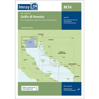
Imray Gulf Of Venice Marine Charts Clear . Navigate the Gulf of Venice with IMRAY´s acclaimed digital cartography. Designed by sailors, this electronic chart set offers essential detail for safe passage planning and pilotage across the northern Adriatic, from Venice to Slovenia and Croatia. Experience IMRAY´s award-winning, user-friendly design, compiled from official hydrographic data for the most current information. The distinctive colour palette and clear symbology reduce eye strain and enhance situational awareness. Seamlessly integrate with your chartplotter for intuitive route planning and real-time tracking. Equip your electronic navigation system with IMRAY for a secure and confident Adriatic adventure. Navigate the Gulf of Venice with IMRAY´s Acclaimed Digital CartographySet sail across the enchanting waters of the Gulf of Venice with the unparalleled confidence that comes from IMRAY´s world-renowned marine cartography, now optimized for your electronic navigation system. Designed by sailors for sailors, this digital chart set provides the essential detail and clarity required for safe and seamless passage planning and pilotage throughout the northern Adriatic Sea. Whether you are exploring the historic canals of Venice, cruising the sun-drenched Italian coast, navigating the shores of Slovenia, or discovering the intricate beauty of the Croatian islands, IMRAY delivers the accuracy and reliability you need at your fingertips.Experience the IMRAY difference through our award-winning cartography, which is celebrated for its intuitive design and user-friendly presentation. This digital collection is meticulously compiled using data from official hydrographic offices, ensuring that you are navigating with the most current and authoritative information available. The distinctive IMRAY colour palette is specifically designed to reduce eye strain and provide instant recognition of shallow waters, navigational aids, and land features, enhancing your situational awareness both day and night. The clear, uncluttered symbology eliminates ambiguity, allowing for quick and decisive navigation in busy waterways and complex harbour entrances.Integrating seamlessly with your onboard chartplotter or navigation software, this electronic cartography solution transforms your screen into a powerful tool for exploration. Benefit from comprehensive, large-scale coverage for detailed pilotage into harbours and anchorages, combined with smaller-scale plans ideal for offshore passage making. The intuitive digital format allows for effortless route planning, real-time vessel tracking, and immediate access to a wealth of navigational data. Equip your electronic navigation system with the benchmark in marine cartography and unlock the full potential of your Adriatic adventure, secure in the knowledge that every route is supported by a legacy of cartographic excellence. tradeinn Waveinn
 Product specifications
| Brand | Imray, Laurie, Norie & Wilson Ltd |
|---|---|
| EAN |
|
| Material |
|
| Color |
|
| Size |
|
| Gender |
|
| MPN |
|
 Price History
Prices were last updated on:
 Related results


