


£ 20.99

Sponsored links
|
|
£ 20.99 |
To Shop
|

|
£ 30.49 |
To Shop
|

|
£ 30.49 |
To Shop
|
| COMPARE ALL WEBSHOPS (3) | ||
 Description
Compare webshops (3)
Sponsored links · Some shops pay us a fee
£ 20.99
£ 30.49
£ 30.49
Shops with other sizes
Description
(2)
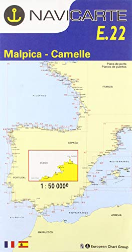
Navicarte E22 R-12 Malpica-camariñas Marine Charts. Navigate the Malpica-Camariñas coast with confidence using NAVICARTE E22 R-12 Marine Charts. This electronic cartography set delivers precise, up-to-date navigation routes, including water depth, coastal features, and hazards. Seamlessly integrate with your GPS, chartplotter, or navigation software for real-time location tracking and route planning. Enhance situational awareness by combining with radar and sonar. Based on the latest Spanish Hydrographic Institute data and rigorously quality-controlled, these charts offer detailed topography and points of interest, ideal for mariners, recreational boaters, and fishermen alike. Essential for safe and efficient sea exploration. The NAVICARTE E22 R-12 Malpica-Camariñas Marine Charts are a set of electronic charts specifically designed for navigation in the Malpica-Camariñas region of Spain. These charts provide accurate and up-to-date information about the marine navigation routes, including the depth of the water, coastal features, and hazards.With the increasing use of electronic charting systems on board vessels, these charts are a crucial tool for mariners to ensure safe and efficient navigation. The NAVICARTE E22 R-12 Malpica-Camariñas charts are compatible with a variety of electronic charting devices such as GPS receivers, chartplotters, and navigation software, allowing mariners to view real-time information about their location and route planning.The electronic format of these charts allows for easy integration with other marine electronics, such as radar and sonar systems, enhancing the situational awareness of mariners and providing a comprehensive view of the underwater and above-water environment.The NAVICARTE E22 R-12 Malpica-Camariñas charts are based on the latest data from the Spanish Hydrographic Institute and are regularly updated to reflect any changes in the maritime environment. These charts have undergone a rigorous quality control process to ensure accuracy and reliability.In addition to the navigational information, these charts also provide detailed cartography, including topographic features, landmarks, and points of interest along the coast. This makes them a valuable tool not only for mariners but also for recreational boaters, fishermen, and anyone interested in exploring the Malpica-Camariñas region by sea.Overall, the NAVICARTE E22 R-12 Malpica-Camariñas Marine Charts are an essential resource for safe and efficient navigation in the waters of the Malpica-Camariñas region, providing mariners with accurate and up-to-date information while also offering detailed cartography for a comprehensive marine experience. tradeinn Waveinn
AmazonLe mer vous sourit Color: Standard Material: Varios Department: Unisex
 Product specifications
| Brand | Navicarte |
|---|---|
| EAN |
|
| Color |
|
| Size |
|
| Gender |
|
 Price History
* Price history contains no data from Amazon, Amazon Marketplace.
Prices were last updated on:
 Related results


