


VFR Photo Scenery 2 : Version (C Eng and Mid Wales) (PC CD)
Prices from
COMPARE ALL WEBSHOPS
(2)
Amazon
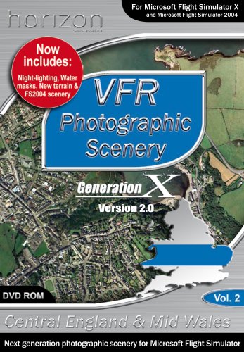
Volume 2 covers as far south as Gloucester and as far north as Wrexham Up to 30 towns and cities throughout England & Wales will be provided at 4 times more detail than that included on the disks (60cm/pixel). With an estimated flying altitude of 3-400 ft (AGL), these inserts will provide a base for 3D sceneries that are currently in development by Horizon and our partners. 30 of the most landmark/ornate bridges in England & Wales will be provided to give pilots additional navigation references and to give the young at heart a challenge to fly under (or even through!)., Platforms: Windows XP
Read more
8.72
Featured

|
£ 8.72 |
To Shop
|

|
£ 8.72 |
To Shop
|
 Description
Amazon
Volume 2 covers as far south as Gloucester and as far north as Wrexham Up to 30 towns and cities throughout England & Wales will be provided at 4 times more detail than that included on the disks (60cm/pixel). With an estimated flying altitude of 3-400 ft (AGL), these inserts will provide a base for 3D sceneries that are currently in development by Horizon and our partners. 30 of the most landmark/ornate bridges in England & Wales will be provided to give pilots additional navigation references and to give the young at heart a challenge to fly under (or even through!)., Platforms: Windows XP


Volume 2 covers as far south as Gloucester and as far north as Wrexham Up to 30 towns and cities throughout England & Wales will be provided at 4 times more detail than that included on the disks (60cm/pixel). With an estimated flying altitude of 3-400 ft (AGL), these inserts will provide a base for 3D sceneries that are currently in development by Horizon and our partners. 30 of the most landmark/ornate bridges in England & Wales will be provided to give pilots additional navigation references and to give the young at heart a challenge to fly under (or even through!)., Platforms: Windows XP
 Product specifications
 Related results
Featured Choice
£ 8.72


