Angus, Tayside and Fife Postcode Sector Wall Map 29 Laminated With Motorway, A' Roads, B' City Plans, Area, District, Sectors
Prices from
COMPARE ALL WEBSHOPS
(1)
Amazon
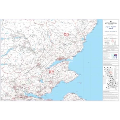
Size: 73 x 107 cm (29 x 42 inches). Scale: 1:150 000 (2.4 miles to 1 inch). Geographical Coverage Guide - North: Loch Muick South: Falkirk East: Coast West: Crieff The map shows the first part of the Postcode and the first number of the second part of the Postcode. This map is permanently bonded between two sheets of tough, flexible, crystal-clear plastic. This map includes all of the Postcode changes from the most recent Royal Mail Postcode Update.
Read more
34.95

|
£ 34.95 | To Shop |
 Description
Amazon
Size: 73 x 107 cm (29 x 42 inches). Scale: 1:150 000 (2.4 miles to 1 inch). Geographical Coverage Guide - North: Loch Muick South: Falkirk East: Coast West: Crieff The map shows the first part of the Postcode and the first number of the second part of the Postcode. This map is permanently bonded between two sheets of tough, flexible, crystal-clear plastic. This map includes all of the Postcode changes from the most recent Royal Mail Postcode Update.


Compare webshops (1)
Shop

Price
Size: 73 x 107 cm (29 x 42 inches). Scale: 1:150 000 (2.4 miles to 1 inch). Geographical Coverage Guide - North: Loch Muick South: Falkirk East: Coast West: Crieff The map shows the first part of the Postcode and the first number of the second part of the Postcode. This map is permanently bonded between two sheets of tough, flexible, crystal-clear plastic. This map includes all of the Postcode changes from the most recent Royal Mail Postcode Update.
 Product specifications
 Price History
 Related products
 To Shop


