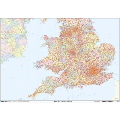
England & Wales Postcode District Wall Map Paper

Prices from
29.99

Description

Amazon High Quality Map of England & Wales Postcodes. Clearly Shows Postcode District Boundaries and District Labels on a Detailed Map Background. A0 Size - 1189mm x 841mm Art quality 120 gsm paper

Compare webshops (1)

Shop
Price
£ 29.99
Description (1)

High Quality Map of England & Wales Postcodes. Clearly Shows Postcode District Boundaries and District Labels on a Detailed Map Background. A0 Size - 1189mm x 841mm Art quality 120 gsm paper


Product specifications

Brand XYZ Maps
EAN
  • 5060688685338

Price History

Prices were last updated on: