Explorer OL 26 North York Moors Map (Western Area)
Prices from
Blacks
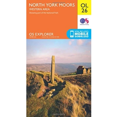
FeaturesDetailed and informative explorer Map of the North York Moors (western area) from Ordnance SurveyCovers the Cleveland Hills, Hambleton Hills, Saltburn-by-the-Sea, Guisborough, Helmsley, Roseberry Topping and a small section of the Howardian HillsScale: 1:25000Now includes Mobile DownloadRecommended activity - walking / hiking / cycling / navigation / expedition
Read more
7.80


 Description
Blacks
FeaturesDetailed and informative explorer Map of the North York Moors (western area) from Ordnance SurveyCovers the Cleveland Hills, Hambleton Hills, Saltburn-by-the-Sea, Guisborough, Helmsley, Roseberry Topping and a small section of the Howardian HillsScale: 1:25000Now includes Mobile DownloadRecommended activity - walking / hiking / cycling / navigation / expedition
AmazonPages: 1, Edition: May 2015 ed, Map, Ordnance Survey
 Product specifications
| Brand | Ordnance Survey |
|---|---|
| EAN |
|
| Color |
|
| Size |
|
| MPN |
|
 Price History
Prices were last updated on:
 Related products
 To Shop


