Explorer OL 43 Hadrian's Wall Map
Prices from
Blacks
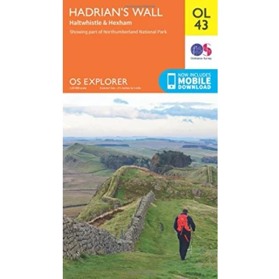
FeaturesDetailed and informative explorer Map of Hadrian's Wall from Ordnance SurveyCovers Gilsland, CorBridge, Haltwhistle, Humshaugh, Hexham, Haydon Bridge, Bardon Mill, Greenlea Lough, Houseteads, Chesters Roman Fort and VindolandaScale: 1:25000Now includes Mobile DownloadRecommended activity - walking / hiking / cycling / navigation / expedition
Read more
7.80


 Description
Blacks
FeaturesDetailed and informative explorer Map of Hadrian's Wall from Ordnance SurveyCovers Gilsland, CorBridge, Haltwhistle, Humshaugh, Hexham, Haydon Bridge, Bardon Mill, Greenlea Lough, Houseteads, Chesters Roman Fort and VindolandaScale: 1:25000Now includes Mobile DownloadRecommended activity - walking / hiking / cycling / navigation / expedition
AmazonPages: 1, Edition: May 2015 ed, Map, Ordnance Survey
 Product specifications
| Brand | Ordnance Survey |
|---|---|
| EAN |
|
| Color |
|
| Size |
|
| MPN |
|
 Price History
Prices were last updated on:
 Related products
 To Shop


