Large Wales & The Midlands Postcode Wall Map Covering Liverpool, Birmingham, Bristol And Cardiff City Plan Inlays, County Boundaries, Motorways, Primary 'A'+'B' Roads, Towns, Cities

|
£ 34.95 | To Shop |
 Description
Amazon
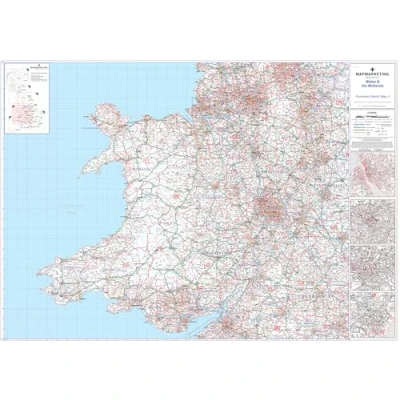
This map covers the following area - North = Preston, South = Bath, East = Northampton, West = St Davids and has detailed inserts for the cities of Liverpool, Birmingham, Cardiff & Bristol This large wall map measures 91 x 127 cm (35 x 50 inches), and includes all of the Postcode changes from the most recent Royal Mail Postcode update This map is permanently bonded between two sheets of tough, flexible, crystal-clear plastic for long lasting protection and you can write on / wipe off This postcode map is the third of six pre-defined sheets that covers Britain at a scale of an inch to 5 miles. Specification: Size: 91 x 127 cm (35 x 50 inches) Scale: 1:320,000 City Inserts: Liverpool, Birmingham, Cardiff & Bristol


Compare webshops (1)
This map covers the following area - North = Preston, South = Bath, East = Northampton, West = St Davids and has detailed inserts for the cities of Liverpool, Birmingham, Cardiff & Bristol This large wall map measures 91 x 127 cm (35 x 50 inches), and includes all of the Postcode changes from the most recent Royal Mail Postcode update This map is permanently bonded between two sheets of tough, flexible, crystal-clear plastic for long lasting protection and you can write on / wipe off This postcode map is the third of six pre-defined sheets that covers Britain at a scale of an inch to 5 miles. Specification: Size: 91 x 127 cm (35 x 50 inches) Scale: 1:320,000 City Inserts: Liverpool, Birmingham, Cardiff & Bristol
 Product specifications
 Price History
 Related products
 To Shop


