South East England Postcode District Wall Map (D2) 47" x 33.25" Rolled Canvas

|
£ 81.99 | To Shop |
 Description
Amazon
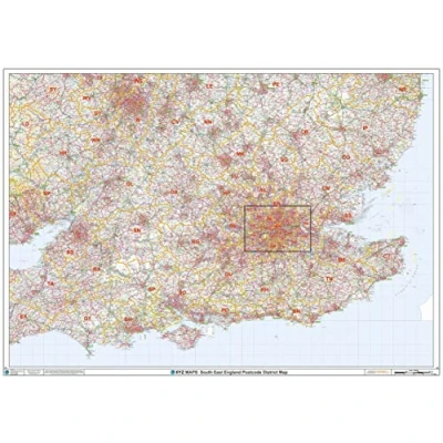
Printed area: 47 x 33.25 inches. Printed directly on canvas and rolled for shipping. There is approximately 5" of unprinted border to allow for stretching the canvas print onto a frame. Ideal for large and decorative Maps. This South East England Postcode District Map clearly shows postcode district boundaries and associated district labels (SL1, SL2) on a comprehensive background and is perfect for determining postcode boundaries for sales territories, logistics, planning mailshots or as a regional reference guide. Map created by XYZ Maps, one of Scotland's leading map publishers. Scale 1:320,300


Compare webshops (1)
Printed area: 47 x 33.25 inches. Printed directly on canvas and rolled for shipping. There is approximately 5" of unprinted border to allow for stretching the canvas print onto a frame. Ideal for large and decorative Maps. This South East England Postcode District Map clearly shows postcode district boundaries and associated district labels (SL1, SL2) on a comprehensive background and is perfect for determining postcode boundaries for sales territories, logistics, planning mailshots or as a regional reference guide. Map created by XYZ Maps, one of Scotland's leading map publishers. Scale 1:320,300
 Product specifications
 Price History
Prices were last updated on:
 Related products
 To Shop


